About Nahr Ibrahim
A coastal town shaped by its river, its landscape, and the routes that have connected the coast with the interior.
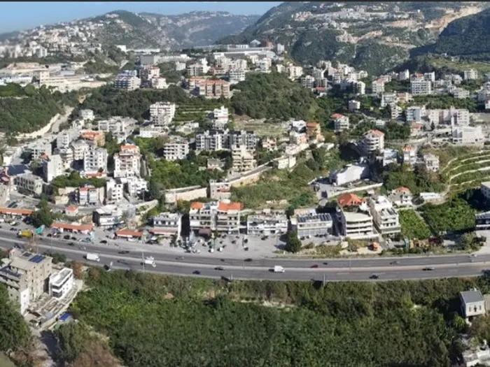
Where the river meets the Mediterranean.
Nahr Ibrahim is a coastal town in the Byblos District of the Keserwan–Jbeil Governorate, approximately 47 kilometres north of Beirut.
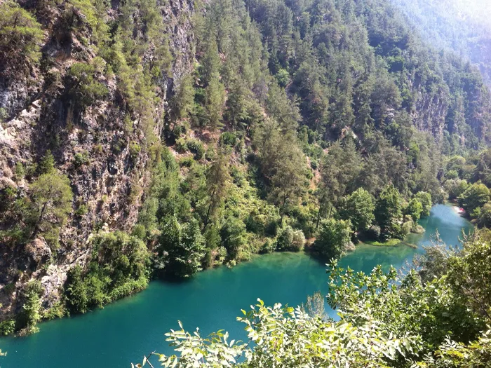
The town is named for the Nahr Ibrahim River, also known as the Adonis River, which runs through the landscape before reaching the Mediterranean. Its river corridor, coastline, bridges, neighbourhoods, and surrounding hills define the town’s setting and identity.
- District
- Byblos District
- Governorate
- Keserwan–Jbeil
- From Beirut
- Approximately 47 km north
- Average elevation
- Approximately 220 m
Geographic reference: Nahr Ibrahim (town).
A place defined by water and movement.
The river gives Nahr Ibrahim its name and has shaped how the town relates to its valley and the coast. Historic crossings and the former railway reflect the routes that once carried people and goods through this landscape.
Today, the river, the historic stone bridge, and the old railway bridge remain visible parts of the town’s natural and built heritage.
Explore the landmarks