Place and heritage

Landmarks

The river, the historic stone bridge, and the old railway bridge tell the story of Nahr Ibrahim through water, movement, and connection.

Explore Nahr Ibrahim

Landmarks shaped by water and connection.

The natural landscape and the structures built across it are part of one local story. Together, they show how the river shaped settlement and how people moved between the coast and the interior.

These three landmarks are presented here as part of the town’s shared natural and built heritage.

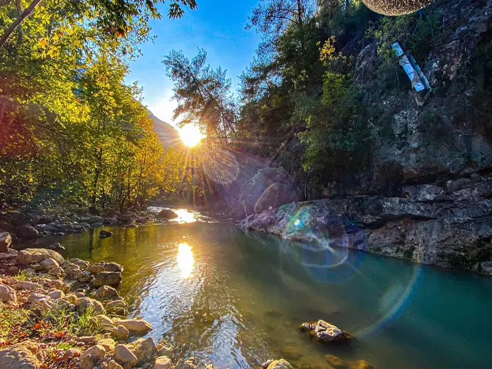
The Nahr Ibrahim River flowing through a green valley
Natural landmark

The Nahr Ibrahim River

The river gives the town its name and its shape. It has influenced where people settled, how they moved, and what they farmed.

Also known as the Adonis River, it flows through the landscape to the Mediterranean and remains central to Nahr Ibrahim’s identity.

Help protect the river

  • Do not dump waste or construction material.
  • Report pollution and illegal discharge.
  • Respect riverside vegetation and wildlife.
  • Participate in municipal cleaning campaigns.
  • Follow safety guidance near the water.
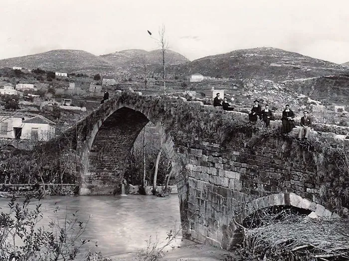
Historic photograph of the stone bridge over the Nahr Ibrahim River
Heritage landmark

The Historic Stone Bridge

A stone bridge crossing the river, built when bridges determined how the coast connected to the interior.

The bridge records a period when river crossings were essential to local movement. Preserving it helps preserve the town’s physical record of that history.

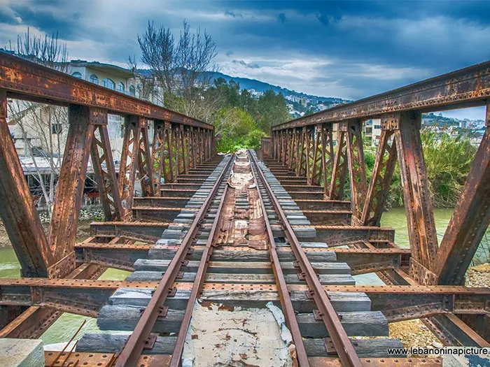
The old railway bridge at Nahr Ibrahim
Industrial heritage

The Old Railway Bridge

Part of the railway that once linked Lebanese towns and carried people and goods along the coast.

The railway line no longer runs, but the structure remains as a visible reminder of the transport network that once passed through Nahr Ibrahim.